|
|
|
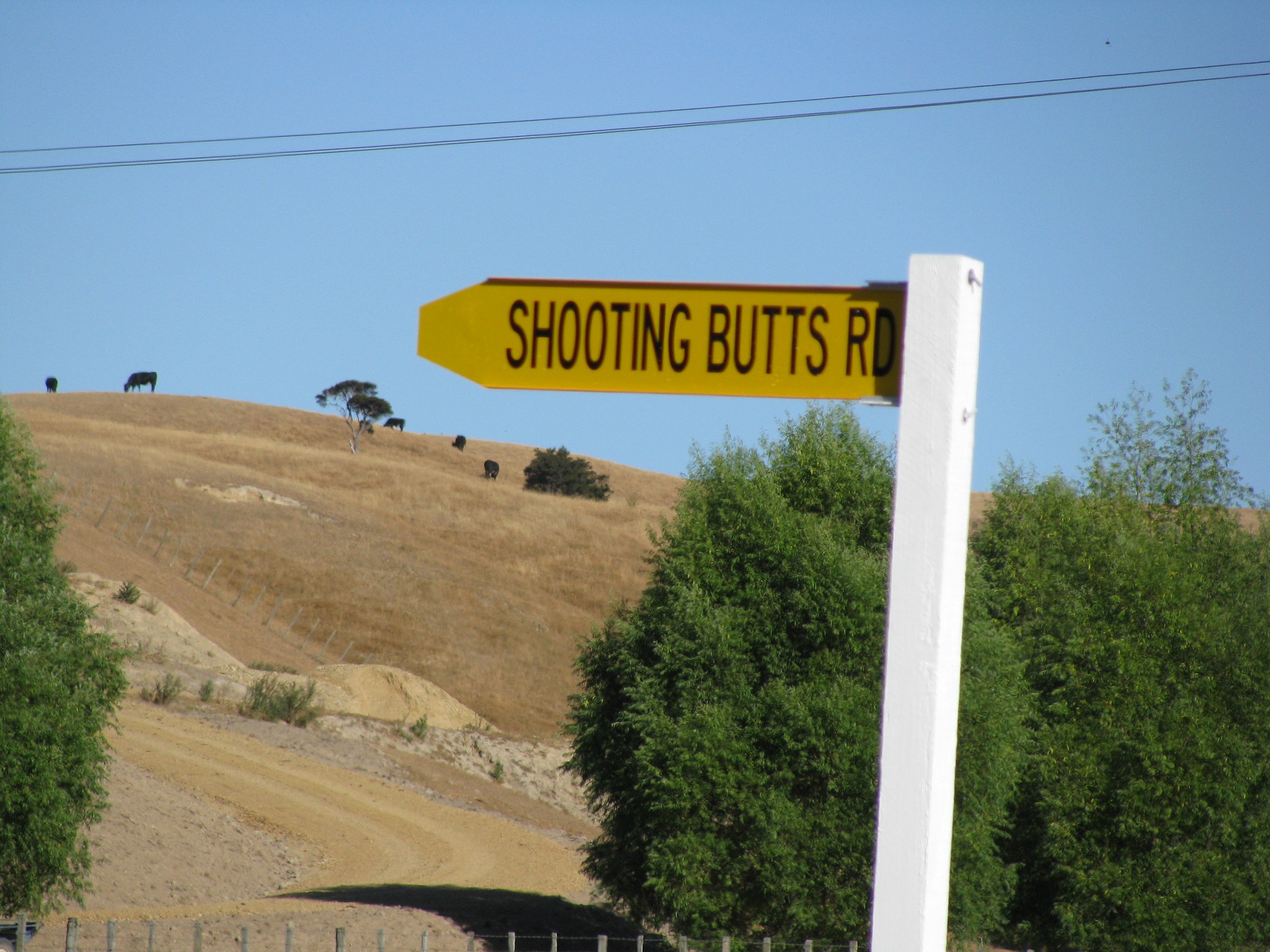
gzt: There are around 110 roads called Queen Street in NZ, and a similar number called King St. Around half that number for Princes St. Similar for Nelson St. There are multiple in Auckland region alone.
I refer you to this old post, where I had fun with searching the NZ Post database :)
Station Road (and varients of X Station Road where X is the suburb) and Queen Street are the main ones I can think of, and I've noticed address searches (Apple Maps, Google Maps, the address engines that companies including ISPs use) are sometimes a bit problematic when you then try to add the suburb to the end such as "N Station Road {Suburb}".
Noticed this recently when helping a family member up in Te Kamo (also not helped that there are plenty of address databases that haven't done the Kamo -> Te Kamo switch yet).
Other common ones I can think of that have a lot of duplicates are those named after various native trees/etc, so Puriri St/Rd/...
Then there's one in Murupara, which is Rimu St on the signs and in Apple Maps, but Rimu Rd in NZ Post's database and Google Maps.
Behodar:
Then there's one in Murupara, which is Rimu St on the signs and in Apple Maps, but Rimu Rd in NZ Post's database and Google Maps.
Oh yeah... this, and something I just had to do for my mum has reminded me... the council/FENZ suburb databases... depending on who you ask I live in one of three suburbs, one that only exists in the Auckland Council ratings & FENZ databases, the township closest to where I live (which is most logical because of rural delivery/etc), or the not-so-closest-but-main* township in the other direction. (* two suburbs in that direction are closer as the crow flies/by road, but the one referenced is sort of the main legacy suburb from 50+ years ago).
Literally had just gone to the local Auckland Council service centre about this, they're enforcing sewage tank inspections, which was done but they claimed that it wasn't. Looked at the inspection report and the address was what would in most address databases, but not the official ratable unit suburb. Seems AC didn't even try to match the property (even though the address on the inspection matches the postal address they have on record.
I bet Six Silvers Avenue near me gets confusing over the phone if you lived at number 20.
Scotdownunder:
I would love to persuade NZ Post to include the missing postcode / address in their postcode finder with message stating “no deliveries, use PO Box Numbers”.
NZ Post do this already for a lot of addresses they don't deliver standard mail for but other mail options e.g. courier will -- for example my workplace address will show the following error.
This address doesn't receive Standard Mail delivery.
Other ways to post to this address
Some addresses don’t receive Standard Mail, but they may receive other types, such as courier mail, PO Box, Private Bag or counter delivery, where they collect mail from a local post shop. Ask someone at that address how to send them mail or contact a courier company to see if they can send here.
xpd:
Mangere Road in Otahuhu.
That sort of thing seemed werid to me until I noticed a pattern. Often one town will have a road leading out of it to another town -- named after the other town -- and vice versa.
A UK example but this is what helped me work it out. London has a Portsmouth Road that goes to Portsmorth, and Portsmouth has a London Road that goes to London. At some point somewhere half way through London Road becomes Portsmouth Road. Source: Wikipedia "A3 road"
NZ examples could be e.g. Manukau Road which leads to the Manukau Harbour, and not really named after the Manukau City itself.
In much the same way, Wellington has road signs for "Picton Ferry".

And I am proud to say that I am from 'The North' (which must be a proper noun as it is capitalised)
And in London there is the Battersea Power Station station
MikeB4:
I love this one. Shooting Butts Road in Martinborough.
I just about brought a house here, just for the street name!!
kingdragonfly: There's "Gentle Annie Hill Road" in Napier, which is anything but gentle for bikers.
"Taihape - Napier Road in its entirety forms a Heartland Ride in the NZCT (known as the “Gentle Annie” route) connecting the Rangitikei District to the Hawke’s Bay. The Gentle Annie route is a two day cycle tour, covering a length of 136km and described as “a challenging but rewarding ride across remote hill country”.
The existing road form provides several challenges to cyclists on the journey:
The existing seal width is below desired minimum width standards (< 7.0m) meaning there is little space vehicles to safely overtake cyclists without using the opposing traffic lane.
The winding nature of the route also provides limited forward visibility in places, restricting the ability to see slower moving cyclists ahead.
Steep gradients also reduce the operating speeds of touring cyclists, creating speed differentials with other road users, and encouraging inappropriate overtaking activity on the corridor.
There is also limited promotion or signage along the route to raise awareness of the presence of touring and recreational cyclists.
The high proportion of heavy vehicles (trucks, buses and camper vans) travelling along the route also create key challenges for cycle safety, as these vehicles are wider than cars and cause more discomfort to cyclists in terms of side drafts, noise and vibration."
I thought it was well known that it isn't gentle?? They used to do a race on there. A quick look at the elevation profile will put most people off. And I don't know many who would attempt that road without looking it up, it's not really a casual ride you could accidentally do. I've driven it a few times.
When visiting relatives in Atlanta GA, I found there were 71 streets/roads with the name "Peachtree" in them.
|
|
|