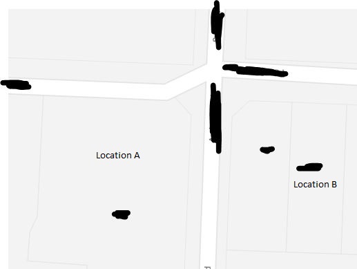
Just noticed a new Spark RSM License (well 4 actually, use 268026 for example) and I want to check I've got the location correct as it is in an area that really needs it nearby...
Grid ref is BP25 994.77 517.86 which I convert to 41 05 16S 172 59 34E - does that sound like I've got that correct? It does match up with the GIS cell tower location map.
I see 768 MHz, 877MHz, 1842MHz & 2147MHz, so assume that is LTE on 700 and 1800 and HSPA+ on 850 & 2100?
Thanks!


