Hi all,
I've always valued the feedback from this community over the years, whether it be a PM or a poke in a topic, and it may come as no surprise that Geekzone is the highest non-search/non-corporate (eg, Teams) http referrer to GIS Geek.
I was keen to start a thread on general updates to the site, but also wanted to hear from anyone on things they'd like to see added, or even things they think are broken / bugs I may not be aware of.
No more Google.
While I mention this on the About page, it’s probably true to say that if it wasn’t for Google Fusion Tables, GIS Geek wouldn’t exist. Today though, there’s nothing Google left. Few reasons for this:
- Google isn’t the company they were 10 years ago. The updates to their API pricing are wack. The investment they've made into the Maps JS library is wack. Mapbox and MapLibre (open source form of Mapbox and what we now use) are superior.
- I had investigated moving to Mapbox around 2021 but their Satellite imagery of New Zealand was subpar and at the time it would have been more expensive.
- LINZ Basemaps released a 3D DEM tiled layer literally the week I was about to start figuring out how to process their ~20gb all NZ elevation data into one I could use on the web. Side note. Massive plug for LINZ. They do awesome work.
That being said, I am not 100% satisfied with the implementation here. It doesn't appear that LINZ do any radiometric normalization on the aerial photography which means different image captures don't blend as well together as they do on Google, but they are much higher resolution. There’s also some rendering bugs I need to work on on my side, and my preferred layer on Google Maps was the Terrain layer which I haven't been able to replicate to my liking yet. Work in progress.
User contributed content
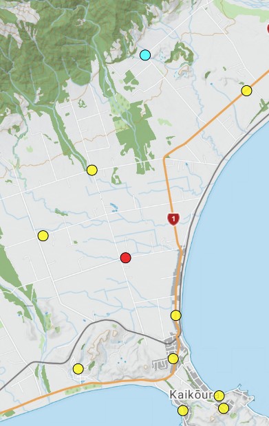
The most common email I get is some version of - “This <Cell Tower | Point to Point | Land Mobile Radio> site is not where your website says it is” - my standard response has generally been to bring it up with RSM, but their response is to bring it up with the Engineer / Licence Owner, and generally speaking, I'm not sure RSM nor the Engineer really had time to deal with it.
In the last week I made live a couple of features I’ve been churning on for a while which is the ability for (logged in) users to propose a location correction for a site, and upload photos of a site. You can see an example on the OneNZ Methven tower details page. Couple of points:
- You’ll always be able to tell if a tower has a different location from its official record.
- (When logged in) if you click the “Location Correction” button you’ll see the RSM location and the new location.
- Both photos and location corrections currently require manual acceptance and the workflow for this (for me) is currently not ideal. Something I’m working on behind the scenes. Just means if you’re submitting things and not seeing them reflected in ~24 hours, it might just be another couple of days.
So, with all that said. What else would you like to see? What bugs do you deal with that I probably don't know about?


